 Detourmap
Nature & landscapes in Philippines
Philippines has 159 nature & landscapes on Detourmap — parks, mountains, waterfalls, caves, volcanoes and coves. The best known is Pinatubo. Ranked by how many Wikipedia editions cover them; this is 1–150, on page 1 of 2.
- Nature
- 159
- Oldest
- Quezon Protected Landscape 1934
- Little known
- 87 of 159
- Most from
- 20th century
-
6.Puerto Princesa Subterranean River National Park
Nature · 20th century · Renowned
National park in the Philippines
-
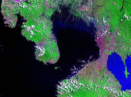
22.Subic Bay
Nature · Notable
Bay forming part of Luzon Sea on the west coast of the island of Luzon, Philippines
-
27.Mount Isarog
Nature · Notable
Stratovolcano located in the province of Camarines Sur, Philippines
-
52.Mount Kalatungan
Nature · Notable
Volcanic mountain located in the province of Bukidnon in the southern Philippines
-
67.Didica Volcano
Nature · Notable
Active volcanic island in the province of Cagayan in northern Philippines
-
127.Quezon Protected Landscape
Nature · 20th century · Hidden gem
Protected area in the Republic of the Philippines
-
141.Peñablanca Protected Landscape and Seascape
Nature · 21st century · Hidden gem
Nature reserve in Philippines
-
143.Mount Hamiguitan Range Wildlife Sanctuary
Nature · 21st century · Hidden gem
-
147.Mount Balatukan Range Natural Park
Nature · 21st century · Hidden gem
Nature reserve in Philippines
-
148.Mount Arayat National Park
Nature · 20th century · Hidden gem
Protected area and National Park of the Philippines






Questions about this page
How many nature & landscapes are there in Philippines?
159 on this map, out of 25,830 worldwide. That is what Wikidata records for Philippines with coordinates, a photograph and a Wikipedia article — the real number on the ground is larger, and for some countries much larger.
What is the best known of the nature & landscapes in Philippines?
Pinatubo. Active stratovolcano on the island of Luzon in the Philippines.
Which is the oldest?
Quezon Protected Landscape, dated to 1934. 17 of these 159 carry a founding date.
Where does this information come from?
Every place is drawn from Wikidata (CC0), with photographs from Wikimedia Commons and a link to its English Wikipedia article. Selection is deterministic: a place is here because Wikidata files it under one of the classes this atlas carries and it has coordinates, a photo and an article. Nothing is written or chosen by an AI, and the ranking is simply how many Wikipedia language editions cover a place.