 Detourmap
Places worth the detour in Île-de-France
Detourmap lists 55 places in Île-de-France, France, across 2 kinds of detour. Best known: île de la Cité. 45 rank as little-known. Click any card to open it on the map.
- Places
- 55
- Oldest
- Jouy Abbey 1124
- Little known
- 45 of 55
- Share of France
- 3%
Île-de-France 55
All 55, best known first.
-
2.Louvre Pyramid
Archaeological · 20th century · Renowned
Glass and metal pyramid in the main courtyard of the Louvre Palace
-
15.Maison d'Auguste Comte
Archaeological · Hidden gem
Museum dedicated to Auguste Comte in Paris, France
-
18.Musée Yves Saint Laurent Paris
Archaeological · 21st century · Hidden gem
Museum dedicated to fashion designer Yves Saint Laurent in Paris
-
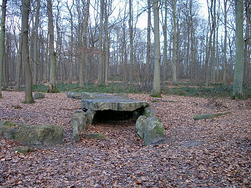
38.Allée sépulcrale de la Cave aux Fées
Archaeological · Hidden gem
Gallery grave in Brueil-en-Vexin, France
-
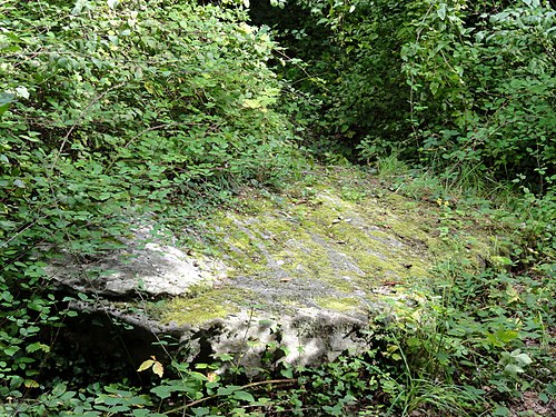
40.Allée couverte du Bois-Couturier
Archaeological · Hidden gem
Gallery grave in Guiry-en-Vexin, France
-
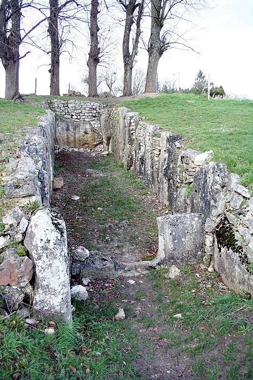
41.Conflans gallery grave
Archaeological · Hidden gem
Gallery grave in Saint-Germain-en-Laye, France
-
43.Allée couverte du cimetière aux Anglais
Archaeological · Hidden gem
Gallery grave in Vauréal, France
-
45.Allée couverte de la côte du Libéra
Archaeological · Hidden gem
Gallery grave in Arronville, France
-
46.Trou aux Anglais gallery grave
Archaeological · Hidden gem
Gallery grave in Saint-Germain-en-Laye, France








Elsewhere in France
Questions about this page
What is the best known place worth the detour in Île-de-France?
île de la Cité. Island in the river Seine, Paris, France. It leads because more Wikipedia language editions cover it than any other place here.
How many places worth the detour are there in Île-de-France?
55: 43 archaeological & historic sites and 12 nature & landscapes. 45 of them are little known — they carry a Wikipedia article in only a handful of languages.
What is the oldest place on this map in Île-de-France?
Jouy Abbey, dated to 1124. 10 of the 55 places here carry a founding date at all.
What counts as Île-de-France here?
Wikidata's own administrative boundary: a place is in Île-de-France if its located in the administrative territorial entity chain leads there. Île-de-France is a first-level division of France, the same level as a state or a province.
Where does this information come from?
Every place is drawn from Wikidata (CC0), with photographs from Wikimedia Commons and a link to its English Wikipedia article. Selection is deterministic: a place is here because Wikidata files it under one of the classes this atlas carries and it has coordinates, a photo and an article. Nothing is written or chosen by an AI, and the ranking is simply how many Wikipedia language editions cover a place.